
Arkansas River Guide
Arkansas River Guide
Regular price
$36.95
Regular price
$0.00
Sale price
$36.95
Discounted:
SKU:
510362
8 in stock
Media Mail:
$4.00/order
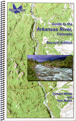
The RiverMaps Arkansas River Guide covers 117 river miles of the Arkansas River from Hayden Meadows to Canon City. This guidebook includes 22 maps detailing Pine Creek, Numbers, Fractions, Milk Run, Browns Canyon, Stone Bridge to Rincon, Rincon to Pinnacle Rock, Parkdale, and Royal Gorge.
- "Go with the flow" map orientation for easy reading and downstream interpretation
- USGS topographic map backgrounds, printed at their original scale, with additional map detail added in an easy-to-read format
- Spiral-bound, waterproof, topographical river map printed on plastic card stock pages
- Each map shows campsite locations, rapids, scout points, river miles and other points of interest, and include many photographs
- Mile-by-mile information ranging from archeological history to geologic surroundings to potential side hikes
- 9" x 14"
- Second Edition, copyright 2019, 62 total pages, 22 maps
Bonus: If the map gets wet, don't worry! It can stay wet without damage. The pages usually won't stick but you may need to air dry each page or wipe with a dry rag. You can write on dry plastic pages with an indelible marker. Entire guidebook is waterproof and tear resistant but not indestructible.


