
Guide to the Colorado River in the Grand Canyon
Guide to the Colorado River in the Grand Canyon
25 in stock
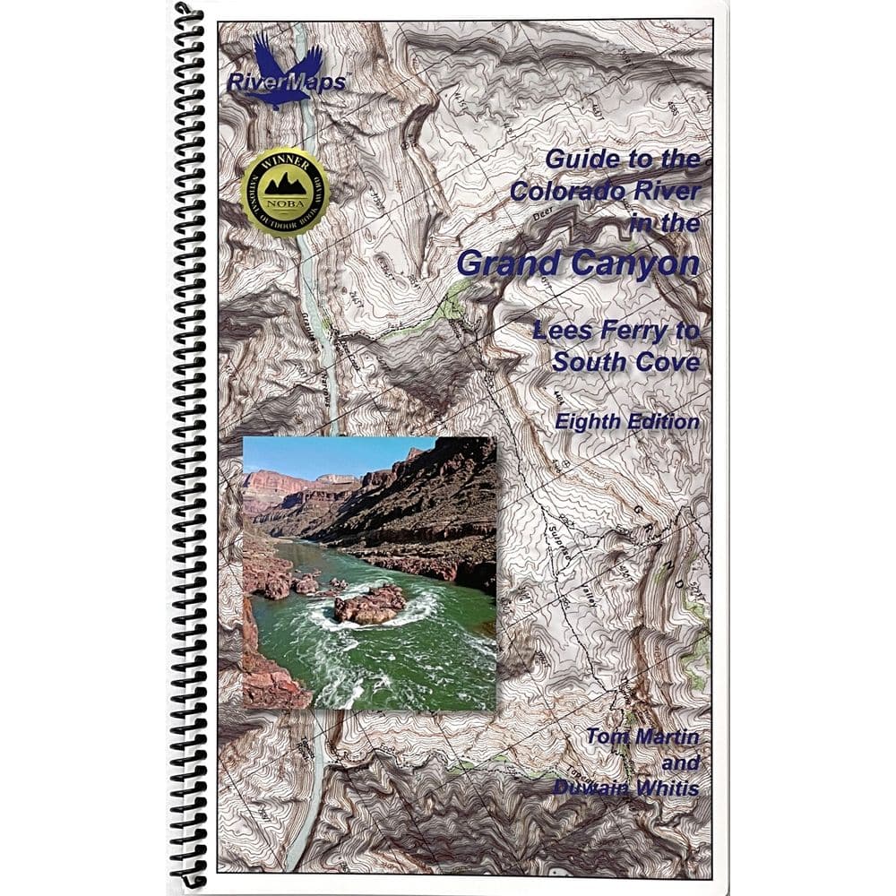
The RiverMaps Guide to the Colorado River in the Grand Canyon is a must have for any trip down in the big ditch. This essential item covers 297 river miles and includes the latest changes in a variable river corridor, particularly updated camps, along with the summer shade/winter sun notations and detailed directions to popular attraction sites. It is also the only guide with maps extending to South Cove in Lake Mead.
- "Go with the flow" map orientation for easy reading and downstream interpretation
- USGS topographic map backgrounds, printed at their original scale, with additional map detail added in an easy-to-read format
- Spiral-bound, waterproof, topographical river map printed on plastic card stock pages
- Each map shows campsite locations, rapids, scout points, river miles and other points of interest, and include many photographs
- Mile-by-mile information ranging from archeological history to geologic surroundings to potential side hikes
- Guidebook includes General Information and other sections including river info, permit and regulations, geology, archeology and history, and plants and animals.
- 9" x 14"
- Eighth Edition, Copyright 2021, 119 total pages, 51 maps
- Covers 297 miles in 119 pages
- 51 maps and up-to-date data on camps and river features
Bonus: If the map gets wet, don't worry! It can stay wet without damage. The pages usually won't stick but you may need to air dry each page or wipe with a dry rag. You can write on dry plastic pages with an indelible marker. Entire guidebook is waterproof and tear resistant but not indestructible.