
Desolation and Gray Canyons Guide
Desolation and Gray Canyons Guide
Regular price
$31.95
Regular price
$0.00
Sale price
$31.95
Discounted:
SKU:
74059
25 in stock
Media Mail:
$4.00/order
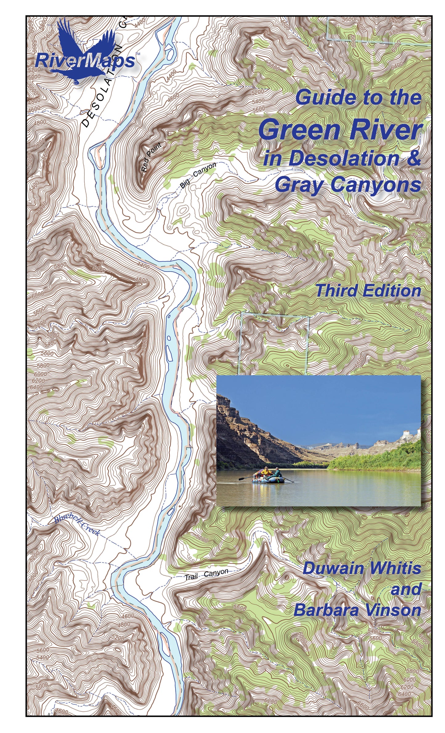
The RiverMaps Guide to the Green River in Desolation & Gray Canyons Utah. The 3rd Edition extends the original 84 mile trip from the Sand Wash put-in to the Swaseys Ramp takeout to 96 miles now that Tusher Dam allows boats to pass and take out at the Green River State Park Boat Ramp.
- "Go with the flow" map orientation for easy reading and downstream interpretation
- USGS topographic map backgrounds, printed at their original scale, with additional map detail added in an easy-to-read format
- Spiral-bound, waterproof, topographical river map printed on plastic card stock pages
- Each map shows campsite locations, rapids, scout points, river miles and other points of interest, and include many photographs
- Mile-by-mile information ranging from archeological history to geologic surroundings to potential side hikes
- Guidebook includes General Information and other sections including river info, permit and regulations, geology, archeology and history, and plants and animals.
- 9" x 14"
- Third Edition, Copyright 2026, 43 total pages, 14 maps
Bonus: If the map gets wet, don't worry! It can stay wet without damage. The pages usually won't stick but you may need to air dry each page or wipe with a dry rag. You can write on dry plastic pages with an indelible marker. Entire guidebook is waterproof and tear resistant but not indestructible.