
Guide to the San Juan River
Guide to the San Juan River
Regular price
$34.95
Regular price
$0.00
Sale price
$34.95
Discounted:
SKU:
74058
25 in stock
Media Mail:
$4.00/order
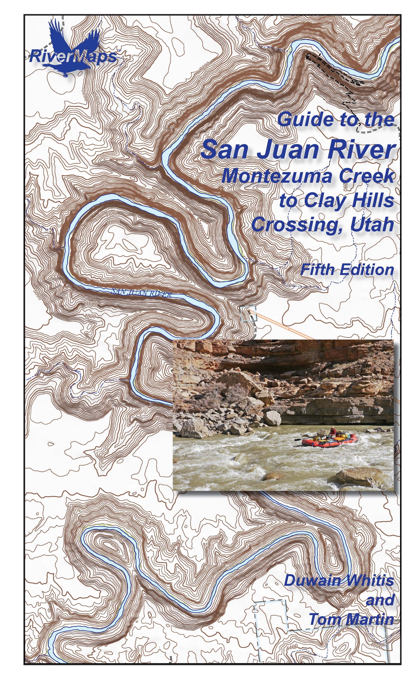
The RiverMaps Guide to the San Juan River, Montezuma Creek to Clay Hills Crossing, Utah, is a must have for any trip down the mighty San Juan in Utah. This guide covers 84 miles of the San Juan River from Montezuma Creek to Clay Hills Crossing, including the Upper San Juan from Bluff to Mexican Hat (27 river miles) and the Lower San Juan from Mexican Hat to Clay Hills (58 river miles).
- "Go with the flow" map orientation for easy reading and downstream interpretation
- USGS topographic map backgrounds, printed at their original scale, with additional map detail added in an easy-to-read format
- Spiral-bound, waterproof, topographical river map printed on plastic card stock pages
- Each map shows campsite locations, rapids, scout points, river miles and other points of interest, and include many photographs
- Mile-by-mile information ranging from archeological history to geologic surroundings to potential side hikes
- Includes introductory General Information and other sections including river info, permit and regulations, geology, archeology and history, and plants and animals
- 9" x 14"
- Fifth Edition, Copyright 2026, 37 total pages, 14 maps
Bonus: If the map gets wet, don't worry! It can stay wet without damage. The pages usually won't stick but you may need to air dry each page or wipe with a dry rag. You can write on dry plastic pages with an indelible marker. Entire guidebook is waterproof and tear resistant but not indestructible.