
Guide to Canyonlands - Colorado & Green Rivers
Guide to Canyonlands - Colorado & Green Rivers
26 in stock
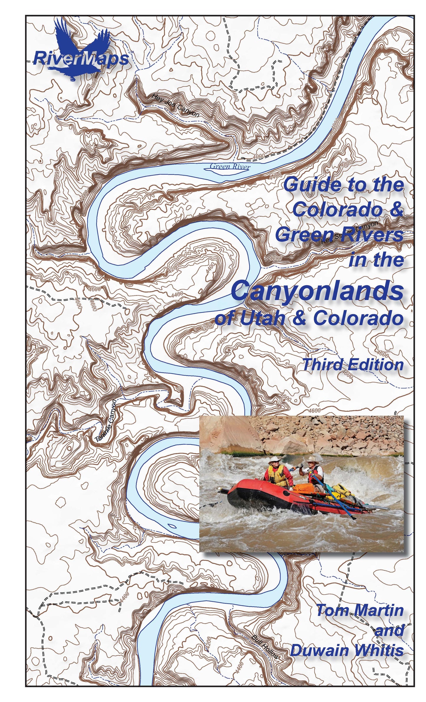
The RiverMaps Guide to the Colorado & Green River in the Canyonlands of Colorado and Utah is a comprehensive guide to the Colorado River from Loma to Lake Powell and the Green River from Green River, Utah to the confluence with the Colorado in Canyonlands National Park. This guidebook covers 320 river miles encompassing the entire permitted portions of Labyrinth and Stillwater Canyons on the Green River, and on the Colorado River through Horsethief, Ruby, Westwater, the Moab Daily, Meander, Cataract and Narrow canyons.
- "Go with the flow" map orientation for easy reading and downstream interpretation
- USGS topographic map backgrounds, printed at their original scale, with additional map detail added in an easy-to-read format
- Spiral-bound, waterproof, topographical river map printed on plastic card stock pages
- Each map shows campsite locations, rapids, scout points, river miles and other points of interest, and include many photographs
- Mile-by-mile information ranging from archeological history to geologic surroundings to potential side hikes
- Guidebook includes General Information and other sections including river info, permit and regulations, geology, archeology and history, and plants and animals
- 9" x 14"
- Third Edition, Copyright 2026, 110 total pages, 45 maps
Bonus: If the map gets wet, don't worry! It can stay wet without damage. The pages usually won't stick but you may need to air dry each page or wipe with a dry rag. You can write on dry plastic pages with an indelible marker. Entire guidebook is waterproof and tear resistant but not indestructible.