Product Not Available
Featured Collections
-
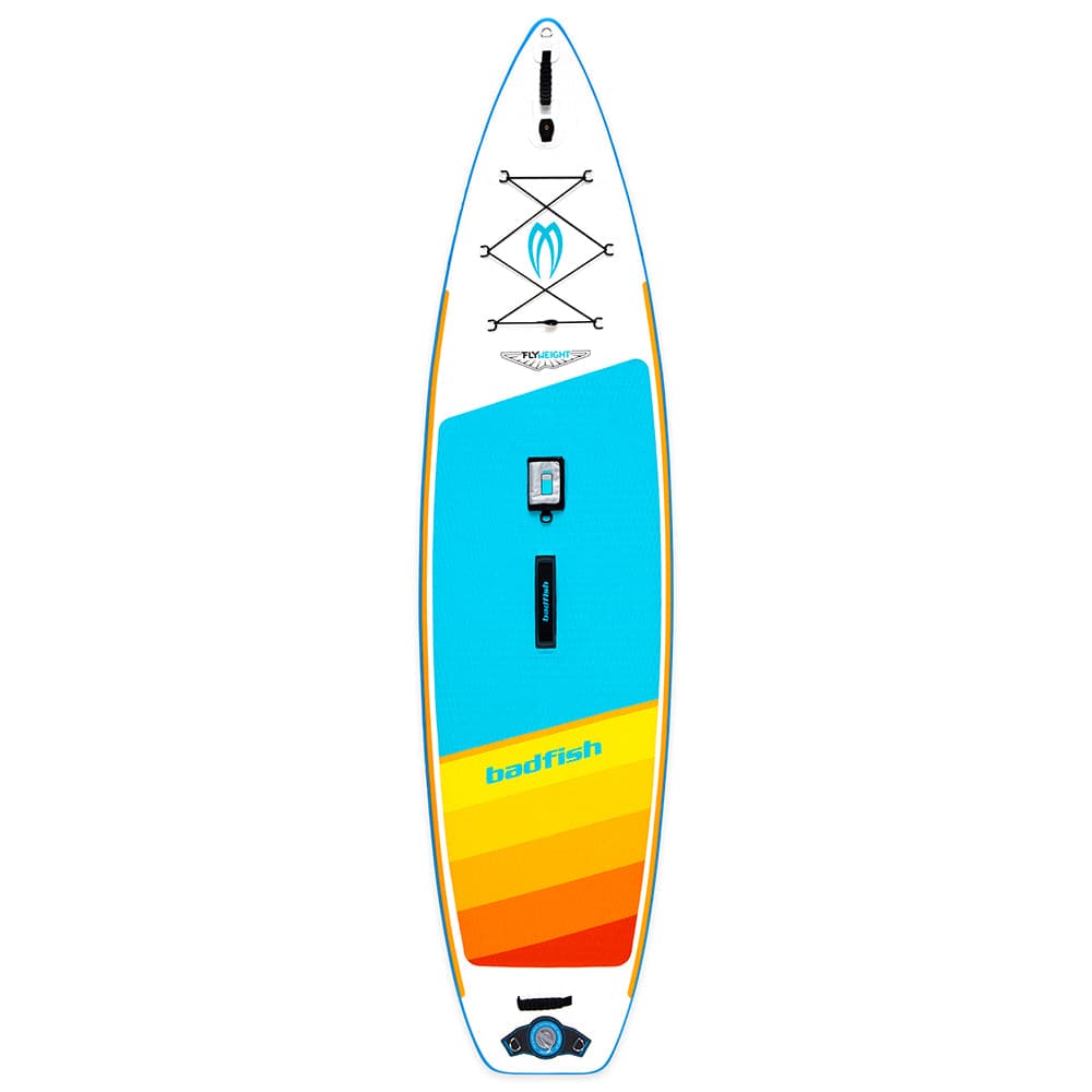
Stand Up Paddle Boards
Shop our collection of inflatable and rigid stand up paddle boards for...

New Products
-
 Sold out
Send-It Summer Finale
Regular price $65.00Regular price -
Roots to Rapids: Science on the River
Regular price $450.00Regular price$0.00Sale price $450.00Discounted: -
Paddle and Paint Adventure Camp
Regular price $450.00Regular price$0.00Sale price $450.00Discounted:


4CRS Logo Wear
-
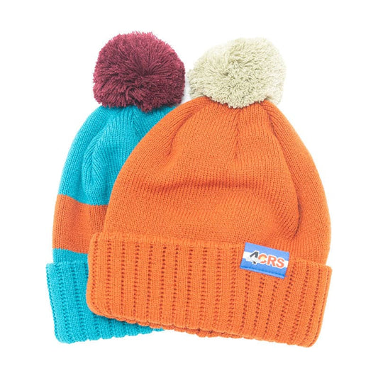
4CRS Jacquard Knit Hat
Regular price $34.99Regular price$0.00Sale price $34.99Discounted: -
 Sold out
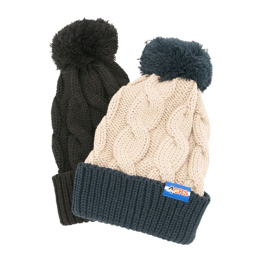
4CRS Pom Pom Beanie
Regular price $34.99Regular price$0.00Sale price $34.99Discounted:Sold out -
 Sold out
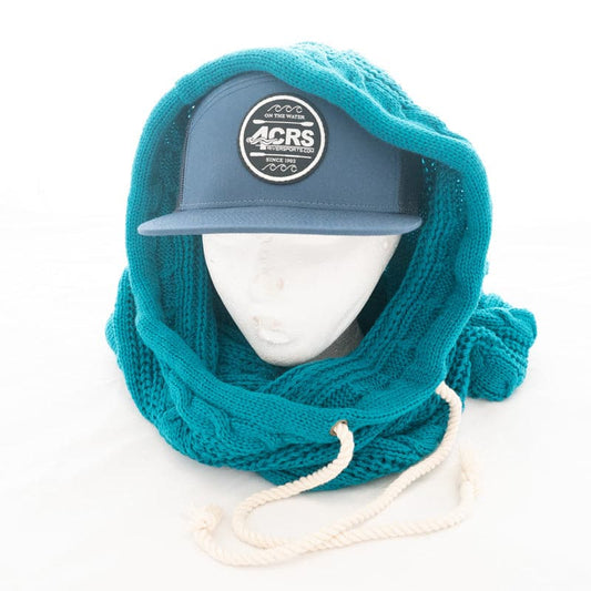
4CRS Hooded Scarf
Regular price $34.99Regular price$0.00Sale price $34.99Discounted:Sold out -
 Sold out
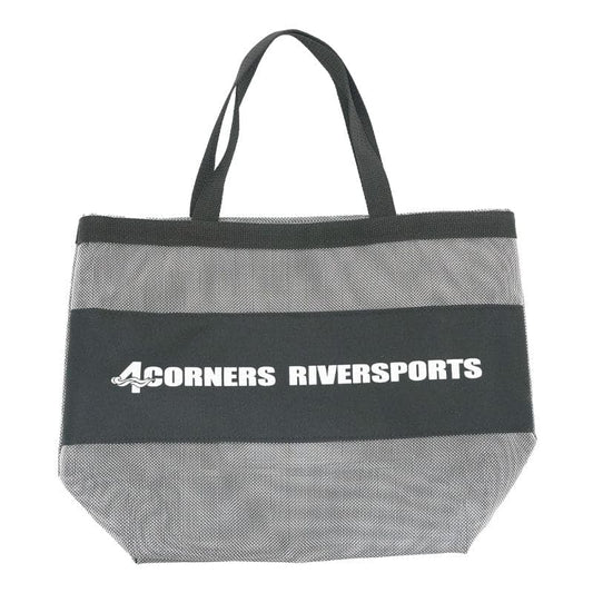
4CRS Mesh Beach Tote
Regular price $14.99Regular price$0.00Sale price $14.99Discounted:Sold out